Funded PhD student Research Assistant position
The Terrain Analysis and Cryosphere Observation lab at the University of Washington in Seattle has an opening for a funded PhD student Research Assistant position.
This position will be supported by NASA projects involving the development of scalable data processing and data fusion pipelines to create precise, high-resolution surface elevation change time series from archives of stereo satellite imagery (Maxar, Planet, BlackSky), satellite laser altimetry data (ICESat-2, GEDI), and airborne LiDAR data.
Science questions focus on understanding how different components of the Earth’s cryosphere are evolving under ongoing climate change, including (but not limited to) seasonal snow, glaciers and ice sheets, and high-mountain natural hazards.
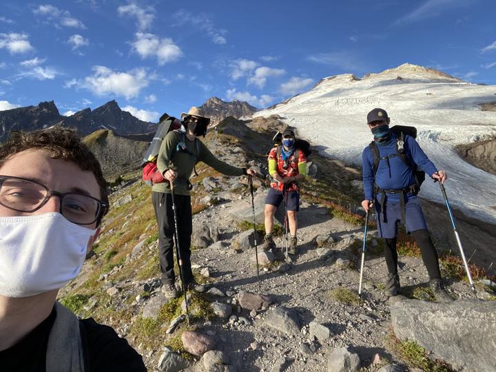
The PhD student will have opportunities to engage with collaborators at multiple NASA centers (Ames, Goddard, JPL), participate in future satellite instrument/mission design efforts, travel to international meetings, and join field campaigns to perform UAS lidar/SfM surveys and collect ground control.
The PhD student will join the Civil and Environmental Engineering department, and work closely with collaborators from the UW Earth and Space Sciences department, UW Applied Physics Lab Polar Science Center, and UW eScience Institute. Students in our research group typically pursue the CEE PhD Data Science Option and take courses in multiple departments (CEE, ESS, CSE, AMATH, etc.) based on their interests.
Start date is flexible. While the official graduate application deadline for Fall 2024 admission has passed, it is not too late to be considered for admission this cycle (prior to April 15 acceptance deadline), and off-cycle admission applications will also be considered.
Interested students should send a resume/CV and brief summary of research interests to David Shean via email (dshean@uw.edu) by February 28, 2024.
Requirements:
-
BS in science or engineering discipline (e.g., Civil and Environmental Engineering, Earth Science, Computer Science, Aero/Astro Engineering, Physical Geography, Geomatics, Geodesy, Physics, Applied Math)
-
Experience with at least one of the following:
- Satellite or airborne remote sensing data processing/analysis
- Geographic Information Systems (GIS)
- Scientific programming (Python, R, Julia, or Matlab)
Other relevant, but optional experience (ideally one or more):
- Linux, Git/Github, Jupyter, Cloud computing
- Open-source geospatial stack (e.g., GDAL, PDAL, GeoPandas, xarray)
- Computer vision and/or machine learning involving geospatial data
- Stereo photogrammetry and/or SfM software (open-source or commercial)
- Very-high-resolution commercial satellite image processing and/or analysis
- Point cloud processing and/or analysis
- Cryosphere science
- Excellent written and oral communication skills (publication or other technical writing, conference poster or talk)