Notes and code to understand and successfully perform accurate 3D coordinate reference system (CRS) transformations of elevation measurements.
Who is this for?
What will you not find here?
This guide focuses on practical examples of using open source software to perform coordinate transforms necessary to compare elevation measurements collected over time by different sensors. It does not delve into much theory, but does provide links to more thorough references. If you’re interested in more history and theory, we recommend reviewing the excellent free material from Penn State’s GPS and GNSS for Geospatial Professionals (Lesson 5: Geodetic Datums)
Learning goals
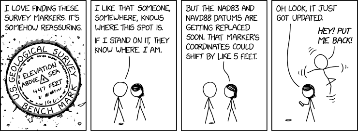
Understand this fantastic cartoon :)
Efficiently intercompare various common global elevation datasets like SRTM, COPDEM, ICESat-2
Convert between local projected coordinate systems and lontitude,latitude,elevation
Why is this important?
In brief if you are comparing elevation data collected over decades for maximum accuracy and precision you must ensure the data is properly converted to a common reference frame. It’s very easy to be off by 10s of meters if improperly accounting for the CRS. Here is a great short primer on this from NOAA’s National Ocean Service that focuses on mapping in the United States:
Explanation of datums and their importance
Why is this so complicated?!
The Earth’s surface/shape is constantly changing
Our ability to measure the Earth’s surface/shape and locations on the surface continues to improve (Thanks GNSS!)
The systems used to define coordinate systems and datums continues to evolve
The support for these systems in open-source tools continue to evolve, with a lot of confusing and/or outdated documentation out there on the web
There is a long (fascinating) history of surveying approaches, measurements, correction approaches, and definitions
Many legacy datasets use older CRS definitions
Many datasets have missing CRS information in metadata, sometimes incorrect information