Geospatial Data Analysis in Python Jan 1, 2020 Go to Project Site Three maps of the US West Coast showing color-coded data CEE467, CEWA567 UW TACO Lab UW TACO Lab
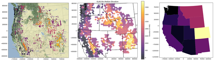 Three maps of the US West Coast showing color-coded data
Three maps of the US West Coast showing color-coded data
Three maps of the US West Coast showing color-coded data