UW TACO Lab
About Us
We develop and apply new methods to understand Earth system change, with real-world implications for water resources, sea level rise, and natural hazards.
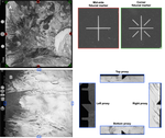
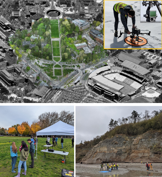
We specialize in remote sensing measurement techniques (optical, lidar, radar) using a range of platforms (satellite, aircraft, UAV), and leverage automated data processing pipelines, modern data science approaches (i.e., deep learning), and HPC/cloud computing to answer questions that cannot be addressed using traditional approaches.
We use these approaches to understand glaciers, seasonal snow, and natural hazards, and how these systems and processes are impacted by ongoing climate change.
Our Team
PI
David Shean
Associate Professor
Research Scientists
Ben Purinton
Research Scientist
Scott Henderson
Senior Research Scientist
Postdoctoral Scholars
Eric Gagliano
Postdoctoral Scholar
Quinn Brencher
Postdoctoral Scholar
Ph.D. Students
Ayush Gupta
PhD student
Alumni
Michelle Hu
PhD student
Shashank Bhushan
PhD Student, Postdoctoral Scholar
Friedrich Knuth
PhD student
Chris Hayner
PhD student
Grégoire Guillet
Postdoctoral scholar
Jack Hayes
MS student
Karthik Venkataramani
Postdoctoral scholar
Romain Hugonnet
Postdoctoral scholar
Seth Vanderwilt
MS student
Yara Mohajerani
Postdoctoral scholar
Alan Viola
Website Manager (Undergraduate)
Projects
Selected Publications
For complete list and most recent publications, please visit Google Scholar
(2024).
Mountain snow depth retrievals from customized processing of ICESat-2 satellite laser altimetry.
In Remote Sensing of Environment.
(2023).
Six Consecutive Seasons of High-Resolution Mountain Snow Depth Maps From Satellite Stereo Imagery.
In Geophysical Research Letters.
Courses
Covers modern surveying techniques that can be used for a range of engineering and scientific applications, with focus on precision mapping and 3D model generation using survey-grade GNSS receivers, drone-based Structure from Motion (SfM), and laser scanning (lidar).
Explores geospatial data processing, analysis, interpretation, and visualization techniques using Python and open-source tools/libraries. Covers fundamental concepts, real-world data engineering problems, and data science applications using a variety of geospatial and remote sensing datasets.